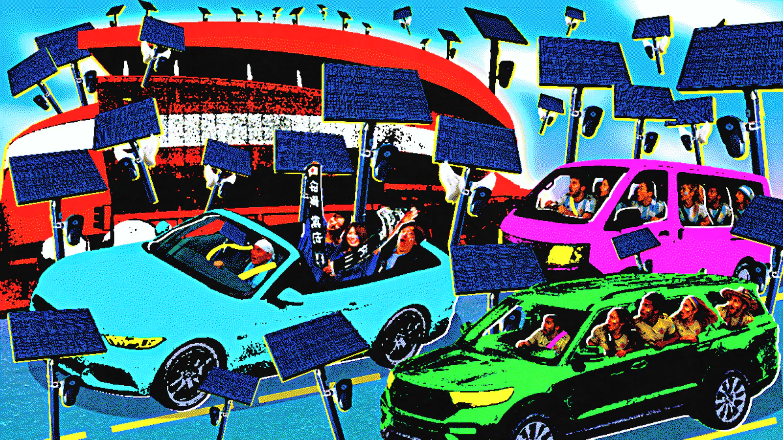
For people who run live cameras or depend on public feeds, the biggest story around a World Cup venue is not just the match—it is the infrastructure on the road to it. New maps showing Flock license plate readers around U.S. stadiums make that infrastructure visible, giving fans, residents, and visitors a clearer picture of how much automated camera coverage can sit between the highway and the gate.
Flock systems are automated license plate readers used by cities, police, and sometimes private groups to log vehicle plates and movement. The new reporting maps place those readers around World Cup venues to answer a simple question with real-world implications for anyone driving to a game or streaming from the area: what gets recorded along the way, and where does that coverage cluster?
Why map the readers now
Major sports venues are already surrounded by cameras of one kind or another: traffic systems, security units, parking lots, and neighborhood watch setups. For live-stream operators, that matters because the same public corridors that carry crowds also carry camera traffic, and a venue’s surveillance footprint can shape where vehicles stop, turn, and park.
Flock readers are part of that larger network. They do not stream video in the way a public webcam does, but they do create a record of where a vehicle passed and when. For a public-facing event like the World Cup, that makes the approach roads as relevant as the stadium itself.
How the maps were built
The maps in this project were assembled from reported Flock reader locations and plotted around each stadium to show coverage near likely arrival routes. The goal was not to claim a full surveillance census, but to show where readers sit in relation to highways, parking corridors, downtown blocks, and transit-adjacent streets.
That approach has limits. Not every camera is visible, listed, active, or publicly documented, and deployments can change quickly as traffic plans or policing needs change. Readers should treat the maps as a snapshot of known coverage, not a permanent inventory.
Distance thresholds matter here. A reader a few blocks from a stadium can still affect fans heading in by car or rideshare, especially if it sits on a ramp, a feeder road, or the only practical drop-off lane. That is why neighborhood context matters as much as the pin on the map.
What the maps show
Across the mapped venues, the densest clusters tend to appear where event traffic already concentrates: freeway exits, parking approach roads, and streets that funnel vehicles toward security checkpoints. Downtown-adjacent stadiums often show more layered coverage because they sit inside broader city camera networks, while suburban or campus-style venues may rely more on perimeter control and parking management.
That pattern is familiar to anyone who follows live camera infrastructure. Places that host big crowds tend to collect more monitoring, and once systems are installed for an event, they often remain in place long after the final whistle. For a useful comparison of how public-facing camera setups can change a street’s feel, see the Abbey Road crossing live cam in London or the street-view cam in Davao City.
Some venues show heavier coverage on the roads leading into parking lots. Others show more readers near transit hubs or downtown intersections where officials expect pedestrians, taxis, and app-based pickups to mix. In those cities, the surveillance footprint is shaped less by the stadium alone and more by local traffic control and private security arrangements.
That mix of civic and private infrastructure also shows up in other live-camera environments, from construction monitoring to urban street feeds like the Kyiv construction cam. The technology changes by use case, but the basic issue stays the same: cameras alter what is visible, recorded, and later searchable.
What Flock readers can and cannot do
License plate readers capture plate numbers, timestamps, and location data associated with vehicle movement. Agencies typically use that information to search for vehicles of interest, flag patterns, or support investigations. The cameras do not identify every passenger in a car, and they do not automatically reveal who owns the vehicle without other records.
Still, the concerns around these systems are not limited to identity. Retention policies, sharing between agencies, access rules, and false matches all shape how intrusive a reader network can become in practice. A camera that merely records a plate is different from a system that stores data for long periods and makes it searchable across jurisdictions.
That is why transparency matters for public-camera coverage too. Viewers and operators alike know that a feed is never just a feed; it is part of a larger data chain. For ongoing coverage of surveillance and camera deployments, see the newsroom’s cameras news and news sections.
What fans should know before heading to a match
The practical takeaway is simple: driving to a World Cup stadium may place a vehicle inside a dense camera network before anyone reaches the turnstiles. Rideshares, parking lots, and designated drop-off points can all sit inside reader coverage, especially where traffic management is designed to capture arrival flows.
The maps are useful as a planning tool, not a warning to avoid normal travel. Fans can use them to understand how visible a route may be, compare approach streets, and spot whether a venue’s camera footprint is concentrated on one side of the stadium or spread across several corridors.
For people who work with live feeds, this is the same logic used when evaluating a webcam angle or a street camera placement: context changes everything. A camera on a plaza may be benign; a camera on a choke point can define the entire experience of moving through a public space.
Why this matters beyond the tournament
World Cup coverage often accelerates surveillance planning. Temporary event security can leave behind permanent hardware, normalizing camera networks that remain long after the crowd leaves. That has implications not only for motorists, but for anyone who lives near stadium districts or runs cameras in the same public corridors.
The bigger debate is about public transparency. If a city can map sidewalks and traffic for event safety, it can also explain where automated readers sit, how long they retain data, and who can use it. For audiences that follow live webcams and camera infrastructure, those details are part of the same ecosystem.
As World Cup traffic builds, the next thing to watch is whether temporary event security turns into permanent camera infrastructure.